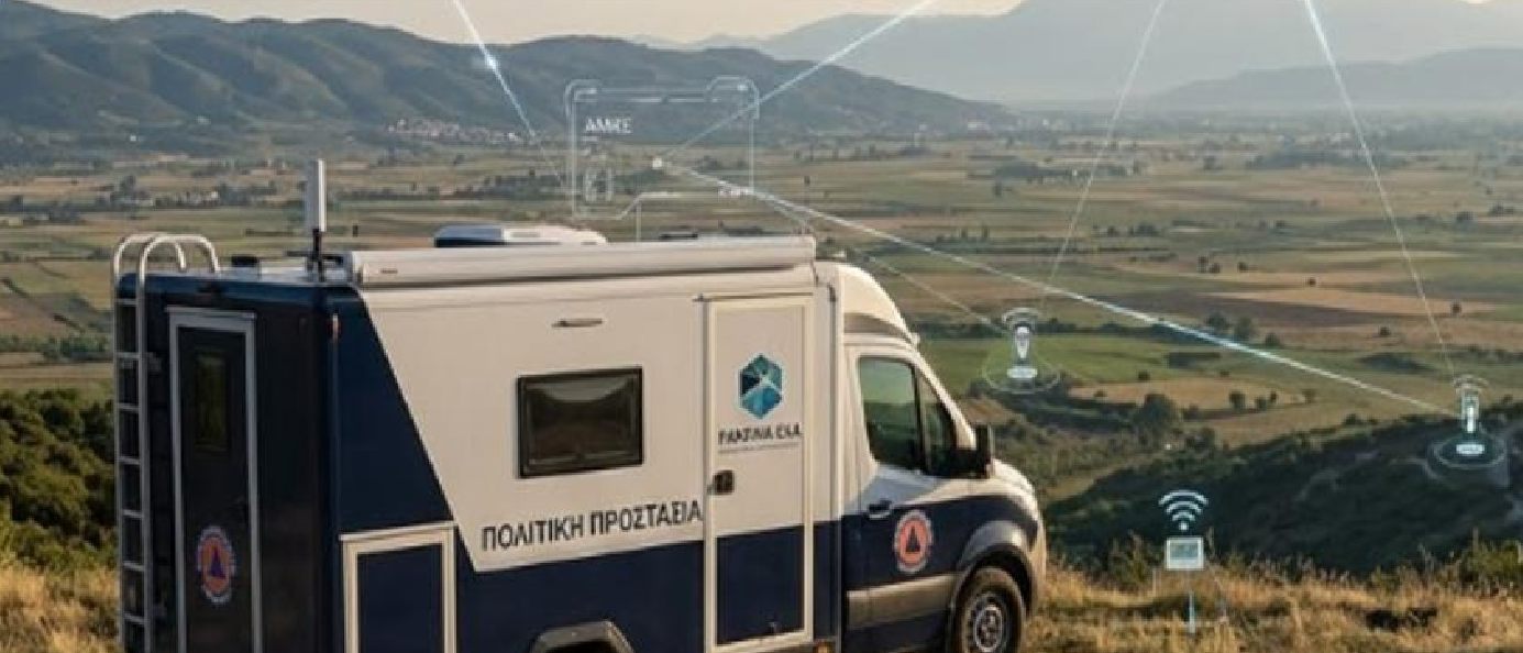
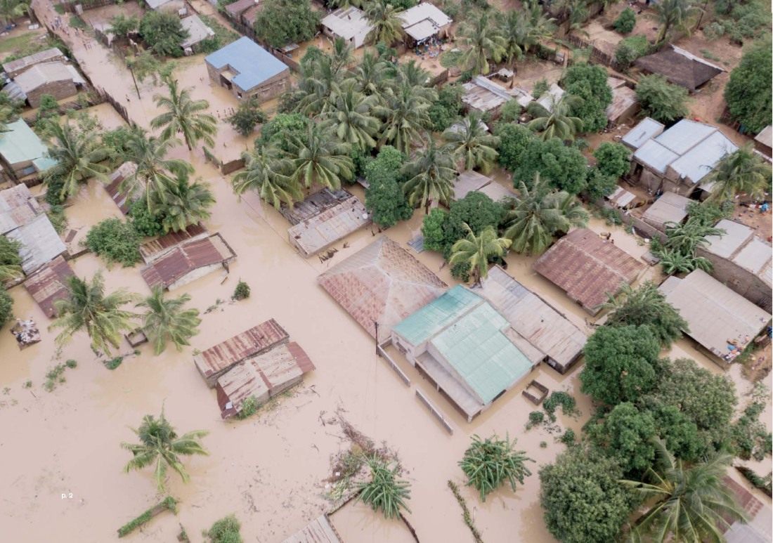
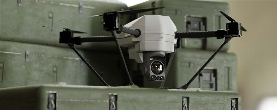
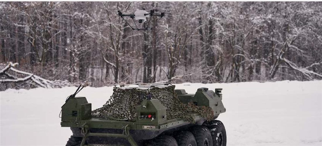
The C4 platform (Command – Control – Coordination – Communication) ensures consistent execution of civil protection plans, with aerial monitoring by drones and tethered drones.
Civil protection
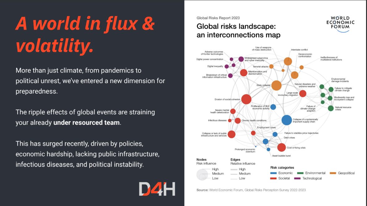
Preparedness for a world in flux
In a constantly changing world, PANGAEA R&D® addresses the complex dimension of modern preparedness and readiness. Beyond climate challenges, the increasing frequency of scalable and complex disasters demands highly coordinated operational responses.
The C4 platform
Our core service is the C4 platform, an integrated software ecosystem (D4H) that ensures civil protection plans are executed consistently and effectively. It acts as an “extra team member”, guiding your organisation through a structured, swift and organised response to any incident.
Investment plan · Thessaly
C4 for the Region of Thessaly
PANGAEA R&D® is developing an integrated, innovative digital platform for crisis management and operational awareness of the C4 type (Command – Control – Coordination – Communication), with first application in the Region of Thessaly, under the Thessaly Regional Programme (“Αναπτύσσομαι Έξυπνα στην Περιφέρεια Θεσσαλίας 2026”).
Thessaly is highly exposed to floods, extreme weather, forest fires and disruption of critical infrastructure. The platform supports prevention, preparedness, response and management of natural and technological hazards in real time, moving civil protection from a fragmented, reactive model to a proactive, coordinated and evidence-based decision system.
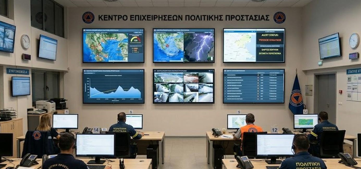
C4 Data Command Centre: video wall with GIS maps, drone images, sensor data and alerts (visualisation)
Technological innovation
Mature SaaS, GIS, Copernicus satellite data, IoT stations and drones combined into one Common Operating Picture.
Operational upgrade
A structured Incident Command System, standard procedures, audit trail and multichannel early warning, cutting response time.
Sustainable model
Specialised digital risk-management services as Software as a Service, at regional and national level.
Aligned with the Thessaly Regional Programme, the National Development Programme 2026–2030 and the Regional Smart Specialisation Strategy (RIS3).
Functional architecture
The four C4 pillars
The cloud platform integrates an Incident Command / Incident Management System (ICS/IMS), digital forms, status boards, GIS maps, an audit trail of actions and decisions, and real-time monitoring, with clear command structure, defined roles and pre-set operational plans.
CommandInstitutional and hierarchical organisation of each incident: command structure, availability of staff and resources, full traceability of actions and orders.
ControlContinuous monitoring and data-driven decisions: GIS, Copernicus, IoT streams, field reports, mobile apps and drones form a real-time Common Operating Picture (COP).
CoordinationInteroperability between the Region, municipalities, civil protection, field teams and critical infrastructure through shared maps, data, workflows and checklists.
CommunicationMultichannel, two-way and traceable: SMS, e-mail, push notifications, severity levels, event-based triggers and API links to external systems.
Standards and capabilities
WMS / WMTS
CAP – Common Alerting Protocol
EDXL
Incident Action Plans (IAP)
Role-based access (RBAC)
Multi-tenant
Offline-first field apps
Copernicus
Field infrastructure
From the field to the operations centre
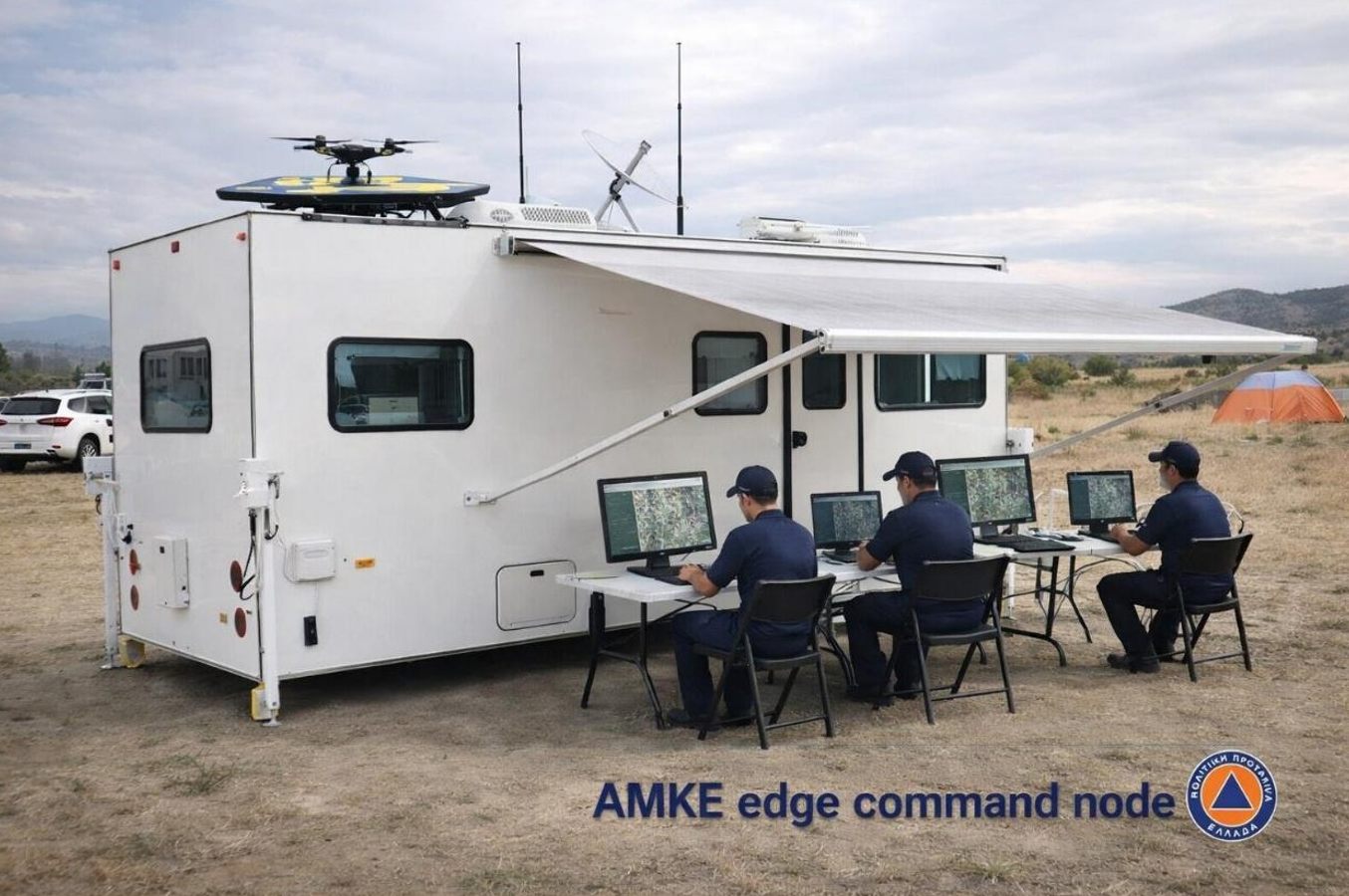
Mobile Autonomous Operations Centre (AMKE)
An edge command node in the field that keeps operations running when power or communication networks are down, with on-site display of the COP.
Solar panels, battery storage and backup generator
4G/5G, VHF/UHF and satellite communications
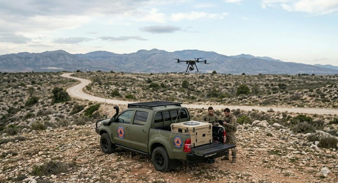
Drone (UAS) unit
High-resolution images and video for mapping affected areas and monitoring hazards, combined in the platform with GIS and satellite data.
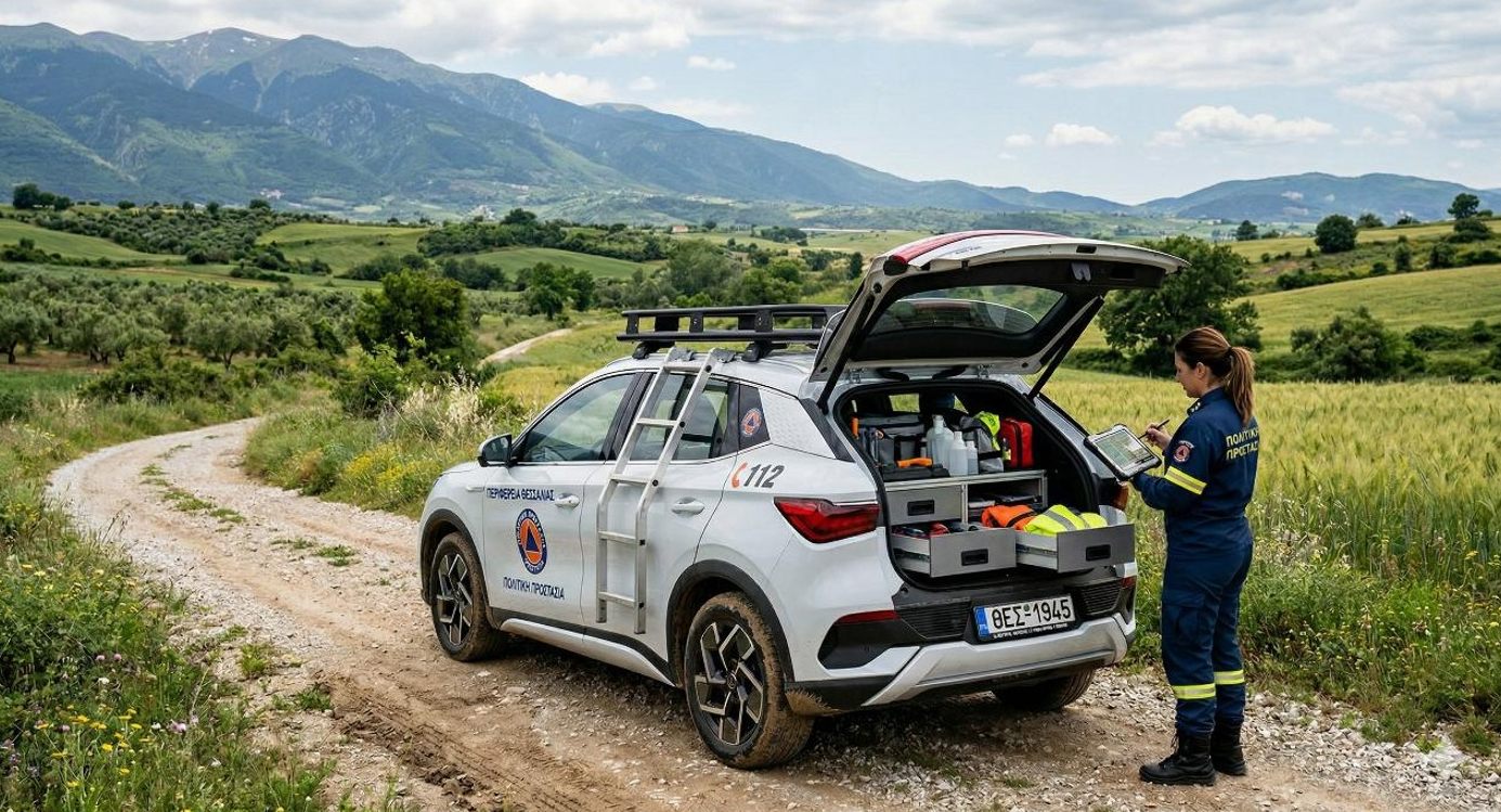
Electric field vehicle
A green-mobility field tool for installing and servicing IoT weather stations, collecting field data and taking measurements across Thessaly.
IoT & weather-station network
A pilot LoRaWAN network of gateways, multi-parameter weather sensors, data loggers and locators, sending data over LoRaWAN and 4G to the C4 platform.
Images are visualisations from the C4 investment plan.
Software suite
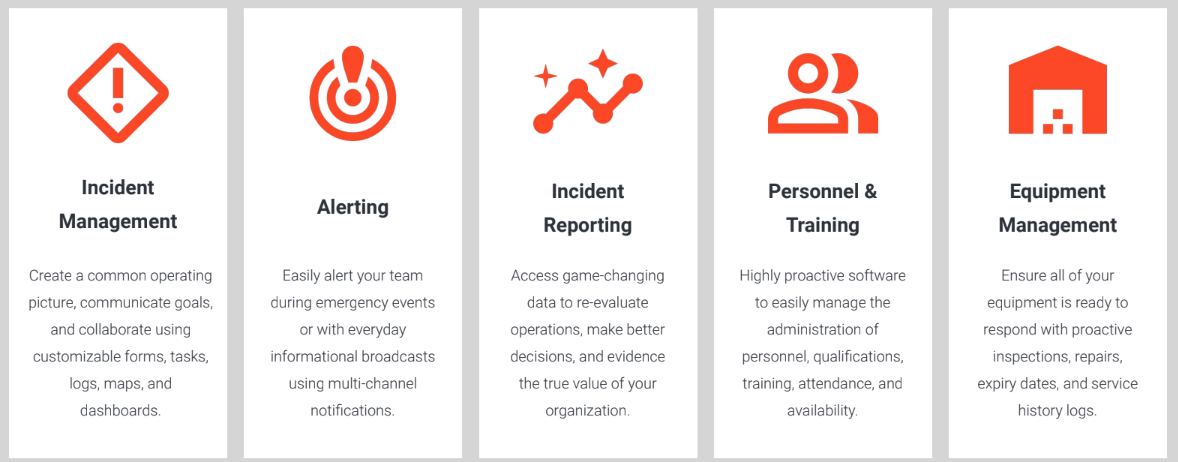
Incident management
Real-time collaboration
A unified dashboard for situational awareness, SITREPs and live chat and updates.
Digital ICS infrastructure
Digital forms, automated organisation charts and pre-planned incident playbooks.
Advanced GIS mapping
Esri ArcGIS integration for data visualisation, danger-zone overlays and real-time incident mapping.
Aerial monitoring · UAV
Aerial monitoring & drone integration
We use Unmanned Aerial Vehicles (drones) equipped with specialised sensors for data collection, field monitoring and precision applications, feeding the C4 platform with live aerial imagery and supporting our smart-agriculture work as well.
Data collection
Multi- and hyperspectral imaging for crop and land assessment.
Field monitoring
Regular surveys to detect spatial variation and changes over time.
Precision applications
High-accuracy operations guided by field data.
Mobile Unit-C2
We use drone technology (Mobile Unit-C2) to enhance field intelligence and data capture.
Floods: real-time data on flooded areas and the resources available for rescue operations.
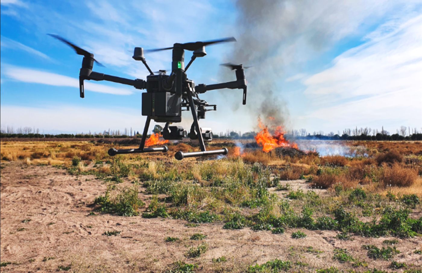
Wildfires: risk visualisation of fire spread and coordination of firefighting units.
Earthquakes: rapid damage assessment in high-risk zones and coordination of humanitarian aid.
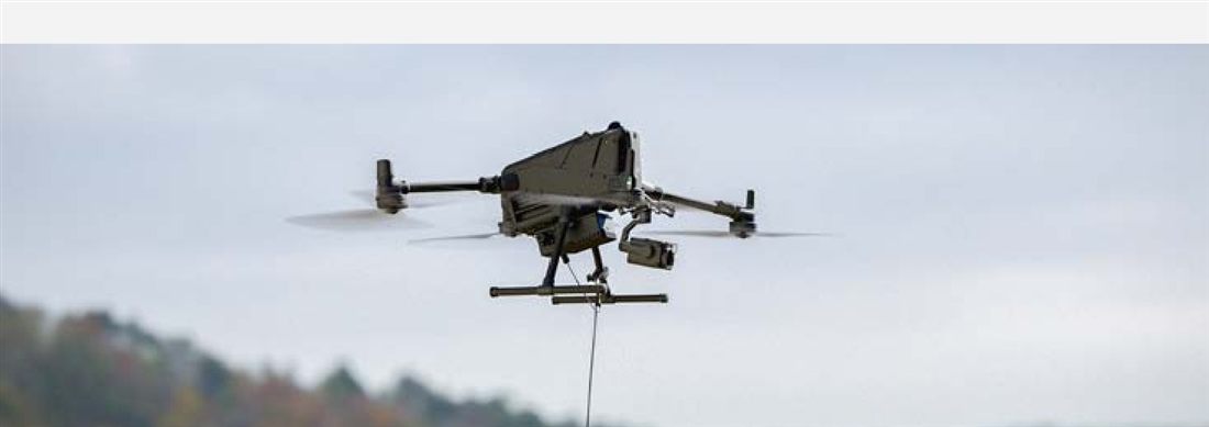
A tethered drone stays airborne for hours, powered through a light micro-tether from a ground station, with secure, high-speed data over the same cable. For civil protection this means a permanent live picture over floods, wildfires and large events, and a raised antenna for field communications. We work with the solutions of ELISTAIR, a French tethered-drone company whose systems are used by first responders and security agencies worldwide.
In emergencies, a tethered drone gives responders continuous connectivity and live imagery. Photo: ELISTAIR
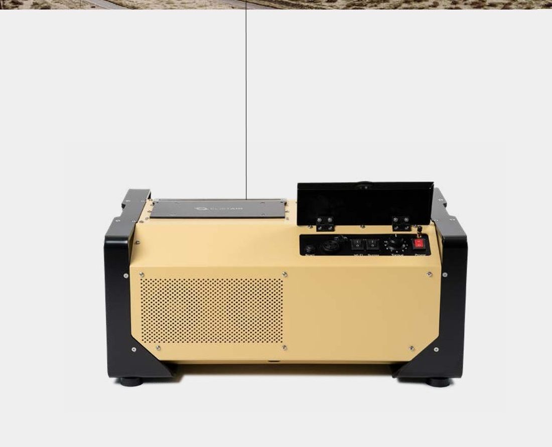
KHRONOS · Tethered DroneBox
A complete, fully automated system (tethered drone, power and landing station, and T-Planner 2 control software) built to be mounted on a vehicle or fixed site and deployed without leaving the vehicle.
Airborne in under 2 minutes · 60 m hovering height · 70 m tether
Up to 24 hours of uninterrupted flight; follow-me and GNSS-denied operation
EO/IR camera and optional radio relay (dual payload) · open API
A ruggedised station for the most demanding missions, keeping drones such as the DJI M400 airborne for hours with continuous overwatch and secure data transfer. Approved by the French Civil Aviation Authority.
110 m micro-tether · up to 100 m operational altitude
Up to 2,500 W peak · 6S, 8S or 12S drones · IP54 · −20 to 50 °C
CE & NDAA compliant · optical-fibre option · T-Manager software
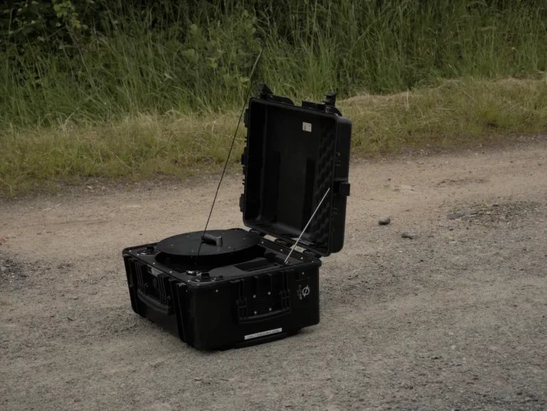
A portable station on wheels for fast deployment by first responders, trusted in more than 70 countries, including in a multi-refinery fire exercise in Greece.
70 m micro-tether · up to 1,800 W peak · IP51
Compatible with Parrot ANAFI UKR, DJI M30 / M350 and more
20 kg with telescopic handle and wheels · set up in under 5 minutes
Product information, images and brochures: ELISTAIR (elistair.com). KHRONOS, SAFE-T and LIGH-T are products of ELISTAIR.
Alerting
Alerting systems
Multi-channel notifications by SMS, voice call, WhatsApp and email, with two-way alerts and delivery audit trails to ensure team accountability.
SMS
Voice calls
WhatsApp
Email
Two-way alerts
Audit trails
Readiness
Resource readiness
Equipment management
Digital inventory tracking with barcodes, recurring inspections and proactive maintenance alerts, so everything is ready to respond.
Personnel & training
Management of qualifications, attendance tracking and K9/handler training logs.
IoT infrastructure
IoT sensors for risk monitoring
We deploy IoT-enabled weather stations and environmental sensors for monitoring floods, wildfires and earthquakes in real time.
Security & global standards
The platform is ISO 27001:2022 certified, meeting international standards for information security and risk management. It is trusted by more than 100,000 emergency managers and responders in 37 countries, across the public and private sectors.